

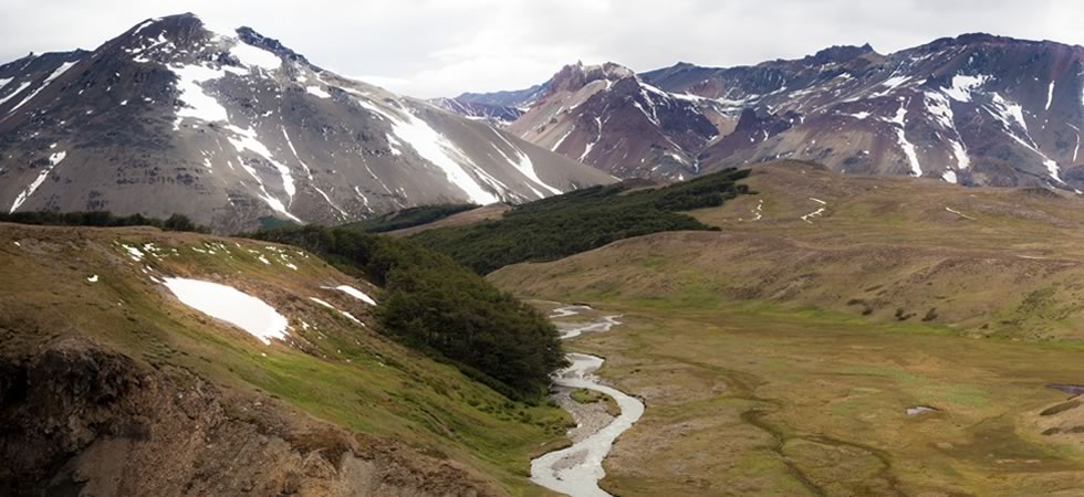
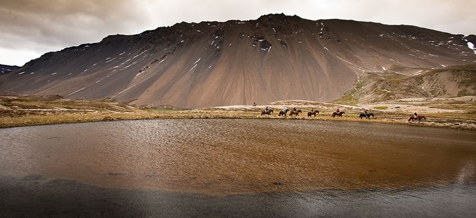
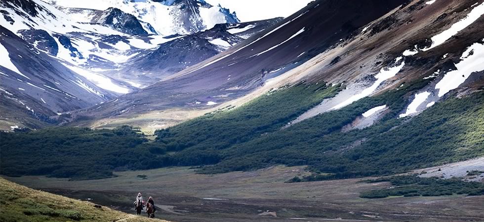
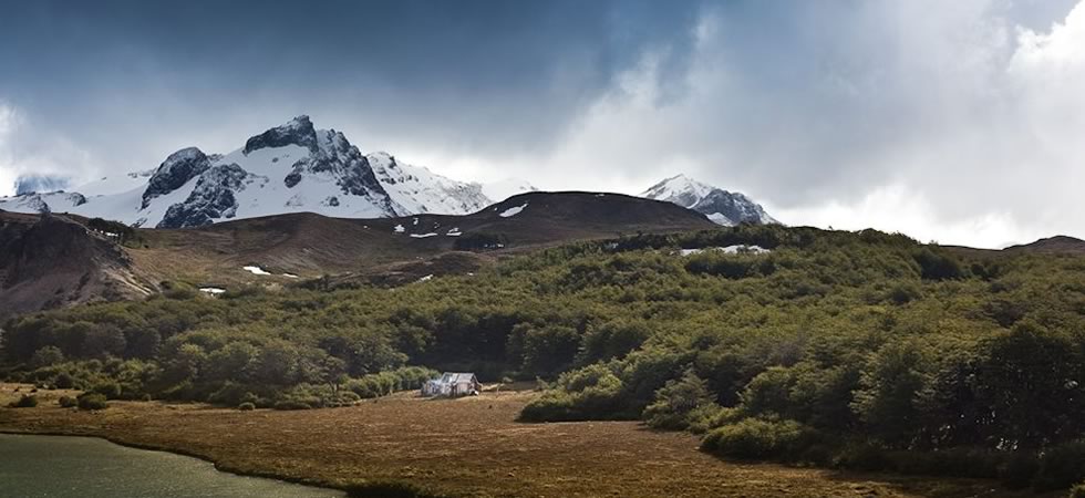
The Veranada de Jones is situated 225 km (140 miles) from the town of Gobernador Gregores, and 22 km (14 considerably) from Estancia Melenik, from where it can be accessed on horseback.
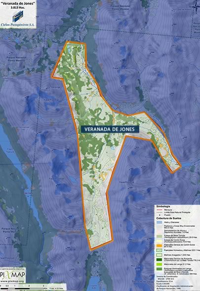
 3.813 hectares (9,422 acres)
Veranada de Jones 48°03´13.51´´ Lat. South 72°09´52.52´´ Long. West